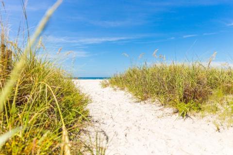
Indian Shores is easier once you understand the layout.
The town is narrow, coastal, and simple in a way that helps visitors settle in quickly. The Gulf of Mexico sits to the west. The Intracoastal Waterway runs along the east. Gulf Boulevard is the main road through the beach communities, carrying most of the restaurants, beach access points, trolley stops, and short drives north or south.
That basic map matters. Once you know which side of Gulf Boulevard you are on, where the beach access points are, and how the trolley route works, the first day feels much less scattered.
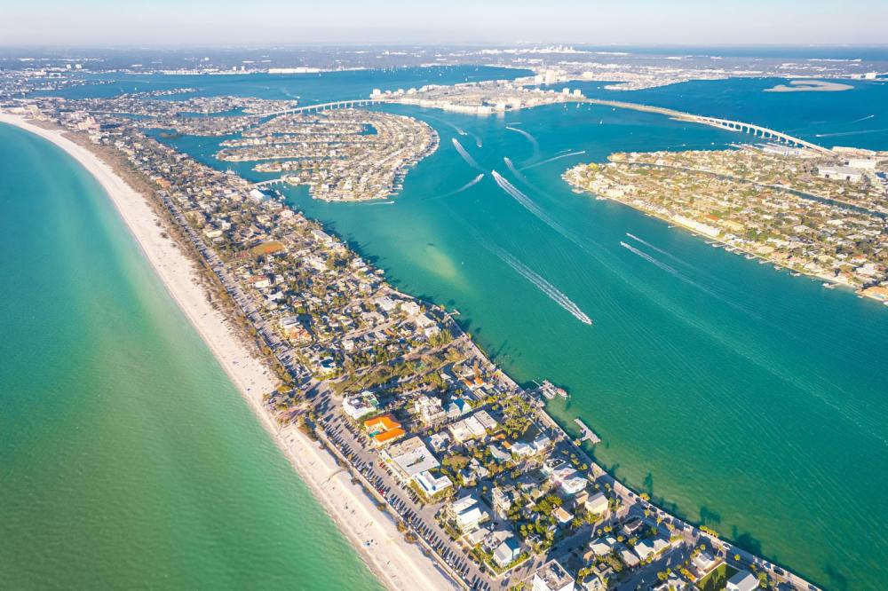
Indian Shores is a barrier-island town, so the geography does a lot of the organizing for you.
The beach side faces the Gulf. The bay side faces the Intracoastal. Between them is a narrow strip of streets, condos, restaurants, small businesses, crosswalks, and beach access points. You are rarely far from water, but you do need to pay attention to crossings, parking rules, and private property.
For first-time visitors, the helpful mental shortcut is this:
- West means Gulf, beach, sand, sunset.
- East means Intracoastal, calmer water, docks, boats, and mainland connections.
- North and south mean other beach towns along Gulf Boulevard.
That is enough to begin.
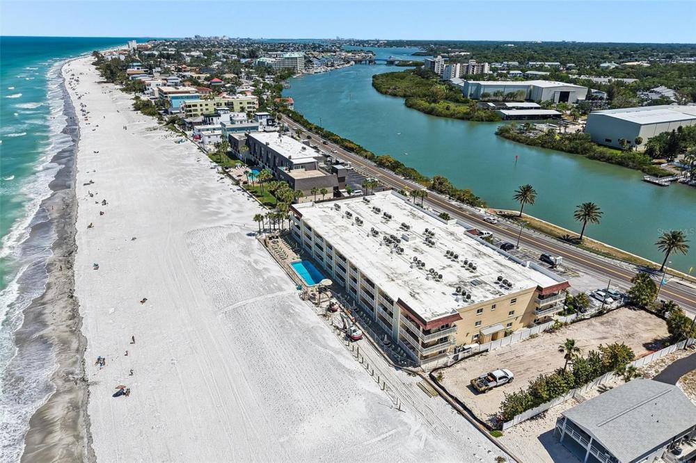
Gulf Boulevard is the road you will keep coming back to.
It connects Indian Shores with nearby beach communities including Indian Rocks Beach, Redington Shores, Madeira Beach, John’s Pass Village & Boardwalk, Treasure Island, and St. Pete Beach.
The road is useful, scenic in spots, and busy at the wrong times. Dinner hours, weekends, holidays, stormy weather, and sunset traffic can slow things down. A short distance on the map can take longer than expected when everyone is moving along the same coastal route.
Plan with that in mind. One main outing plus one errand is usually better than hopping between five stops.
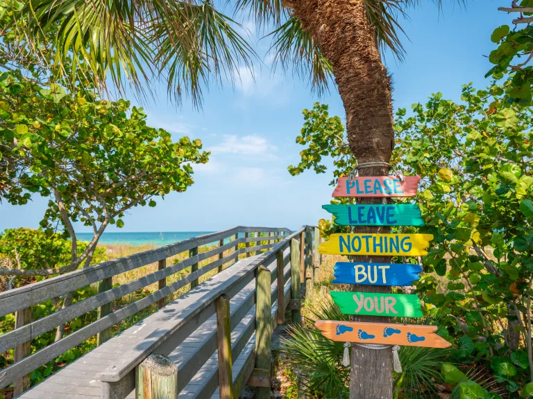
Indian Shores has public beach access, but the details matter.
Tiki Gardens / Indian Shores Beach Access is one of the main public access points. It is located at 19601 Gulf Blvd. and includes parking, restrooms, a water fountain, beach showers, and a pedestrian crossing light at Gulf Boulevard.
That makes it useful if you have visitors joining you for the day or if you need a public access point with basic amenities. Parking fees and enforcement can change, so check posted signs and current local information before leaving the car.
There are also smaller access points in the area, but many beachfront paths and property entrances are private. Use marked public access or the access provided through your lodging. Do not cut through residential properties, condo grounds, or private beach paths.
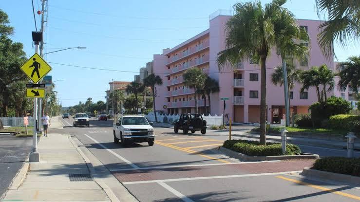
The beach may feel casual, but Gulf Boulevard is still a real road.
Use crosswalks, wait for the signal, and assume drivers may be distracted by traffic, signs, sunlight, or navigation. This matters even more when carrying beach chairs, coolers, umbrellas, and tired kids.
At night, wear something visible and use your phone flashlight when walking in dim areas. The goal is simple: make yourself easy to see and give the road your attention when crossing.
The Intracoastal side is part of what makes Indian Shores feel different from a standard beach strip.
It is quieter than the Gulf side, with boats, docks, birds, fishing activity, and calmer water. It is also more access-sensitive. Many docks, seawalls, and waterfront areas are private, so visitors should use only clearly available public areas, permitted resort spaces, restaurants, parks, or marinas.
For a fuller look at how the Gulf and Intracoastal shape the day, the guide to Gulf Days and Intracoastal Evenings in Indian Shores is a useful companion piece.
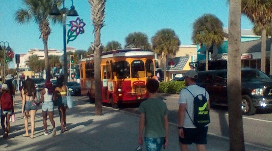
The route serves Gulf Boulevard beach areas including St. Pete Beach, Treasure Island, John’s Pass Village, Madeira Beach, the Redington communities, Indian Shores, Indian Rocks Beach, Sand Key, and Clearwater Beach. That makes it practical for one-direction outings, casual restaurant stops, and beach-community exploring.
Check the current PSTA schedule before you build the day around it. Trolley timing, traffic, fares, and service patterns can change. Also plan the return before you leave, especially if you are going out for dinner or staying north or south later in the evenin
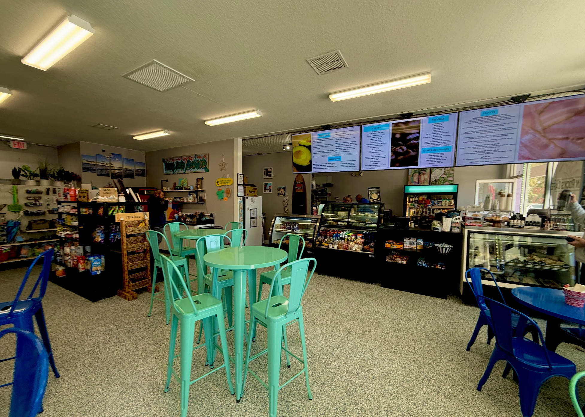
For groceries and basic supplies, the mainland is often easier than trying to solve everything on Gulf Boulevard.
Publix at Indian Rocks Shopping Center in Largo is a practical grocery stop for many Indian Shores visitors. It is located at 12022 Indian Rocks Road and can work well for a first-day stock-up.
The better errand strategy is to do one efficient run early in the trip. Pick up breakfast items, drinks, sunscreen, snacks, paper goods, and anything you forgot. Then keep beach-town driving to a minimum for the rest of the stay.
Nearby Indian Rocks Beach also has smaller cafe, deli, and market-style stops, which can be useful when you need something quick without doing a full grocery run.
When you leave Indian Shores, choose a direction with a purpose.
Go north for Indian Rocks Beach, Sand Key, and Clearwater-area stops. Go south for Redington Shores, Madeira Beach, John’s Pass, Treasure Island, and St. Pete Beach. Go inland for groceries, pharmacies, movies, larger stores, and rainy-day backup plans.
That sounds obvious, but it keeps the day from getting messy. If you are already heading inland for groceries, add one mainland errand and be done. If you are going south for John’s Pass, make that the outing. If you are going north for Indian Rocks Beach, stay there long enough for lunch or a walk.
For weather-flexible planning, the guide to A Rainy-Day Field Trip from Indian Shores gives a separate set of indoor and covered ideas.
Parking along the beach is not something to leave until the last second.
Some public access areas have paid parking. Some nearby towns use meters or mobile payment systems. Some restaurant lots are small. Some beach access points are pedestrian-only or have limited spaces nearby.
Before you drive to a beach access point, restaurant, or shopping area, check whether parking is available and whether payment is required. Bring a credit card, keep a phone charged, and read posted signs carefully.
For many visitors, the simplest option is to park once at the start of the day and walk, trolley, or choose nearby stops afterward.
A good first day in Indian Shores is more about orientation than sightseeing.
Walk to the beach access you will use most often. Notice the closest crosswalk. Find the nearest trolley stop if you plan to ride. Make the grocery run. Check where the trash, recycling, pool, grills, beach showers, or dock areas are located if those apply to where you are staying.
Then stop planning for a while.
Sit by the Gulf. Look at the Intracoastal. Choose dinner nearby. Let the trip begin without turning arrival day into a project.
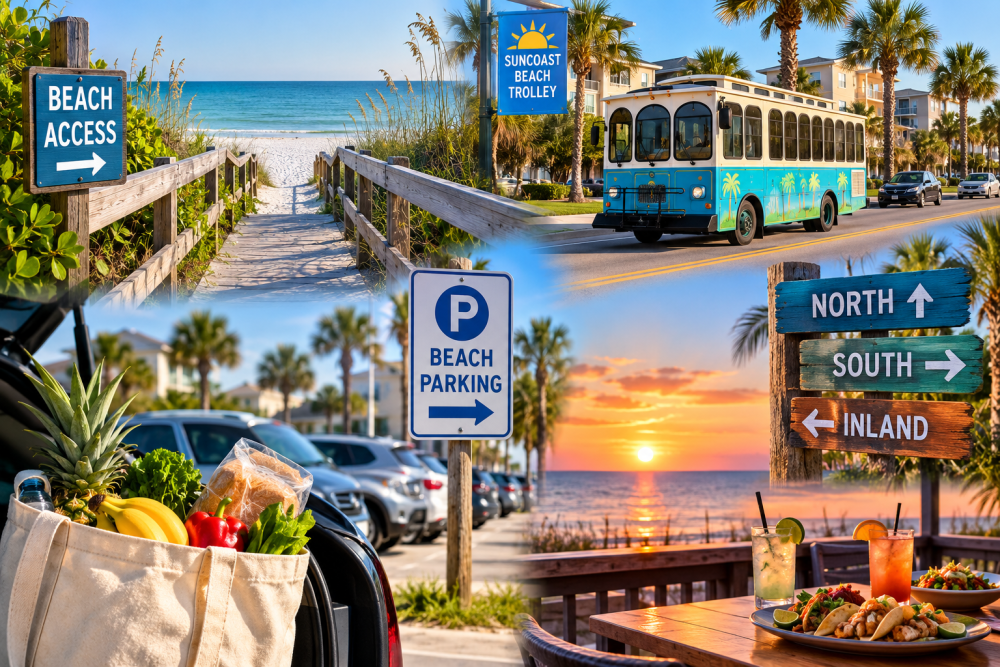
Use this as a quick arrival guide:
- Identify your nearest beach access.
- Learn the safest Gulf Boulevard crossing.
- Check current parking rules before moving the car.
- Save the Suncoast Beach Trolley route page.
- Make one grocery or supply run.
- Decide whether your first outing is north, south, or inland.
- Keep dinner close on arrival day.
- Leave time for sunset if the weather cooperates.
That small amount of planning pays off for the rest of the trip.
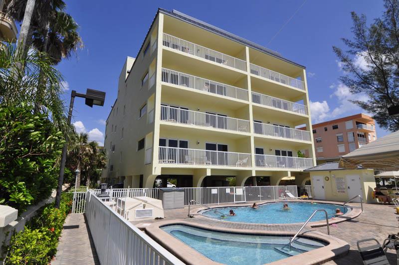
For travelers who want a Gulf and Intracoastal setting in Indian Shores, Bay & Beach Club Resort gives guests access to both sides of the area, with stay-specific questions available by phone at (727) 595-3751 or through the contact page.
Indian Shores is not hard to understand. It just helps to learn the pattern early: Gulf on one side, Intracoastal on the other, Gulf Boulevard through the middle, and nearby beach towns in both directions.
Once that clicks, the rest of the stay gets simpler.